IDTreeS data science challenge
Understanding and managing forests is crucial to understanding and potentially mitigating the effects of climate change, invasive species, and shifting land use on natural systems and human society. However, collecting data on individual trees in the field is expensive and time consuming, which limits the scales at which this crucial data is collected. Remotely sensed imagery from satellites, airplanes, and drones provide the potential to observe ecosystems at much larger scales than is possible using field data collection methods alone. This data science competition focuses on using remote sensing data to quantify the locations, sizes and species identities of millions of trees and on determining how these methods generalize to other forests.
The next round of this challenge will begin in late 2019. Anyone is welcome to participate, working as teams or individuals.
Sign up to receive more information in the next few weeks.
Data
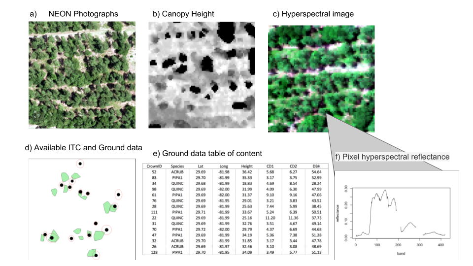
- Airborne remote sensing: High resolution hyperspectral imagery, higher resolution RGB imagery, and LiDAR data on plant height.
- Ground Data: Ground based measurements of tree size, location, and type
- Individual Tree Crowns: Ground based identification of tree crowns on remote sensing imagery.
Tasks
- Crown Delineation: Estimate the size, shape, and location of individual tree crowns
- Classification: determine the species identity of each tree from remotely sensed data
Find out more
- Enter your email to hear more
About the Data Science Challenge
- Sponsored by the National Science Foundation (NSF) through grant 1926542 and the Gordon and Betty Moore Foundation’s Data-Driven Discovery Initiative through grant GBMF4563.
- Organized by the Data Science Research lab, the WEecology lab, and Stephanie Bohlman’s lab all at the University of Florida.
- The data is collected by National Ecological Observatory Network (NEON) from the Ordway-Swisher Biological Station (OSBS) NEON site and by researchers at the University of Florida.